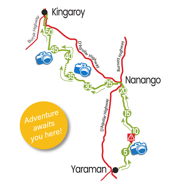
Wooroolin is on the Bunya Highway, 243 kilometres north west of the state capital, Brisbane, and 17 km’s North of the main town, Kingaroy.
Immediately to the east of the town is the Wooroolin Wetland, which is classified as a palustrine wetland, a non-tidal, inland, seasonally flooded, vegetated swamp. Wooroolin Wetlands was declared a fauna sanctuary in 1973, now classified as a palustrine wetland, a non-tidal, inland, seasonally flooded, vegetated swamp.
After successive floods in 2011 and 2013, the wetland burst its banks and Wooroolin was flooded for the first time in recorded history.

