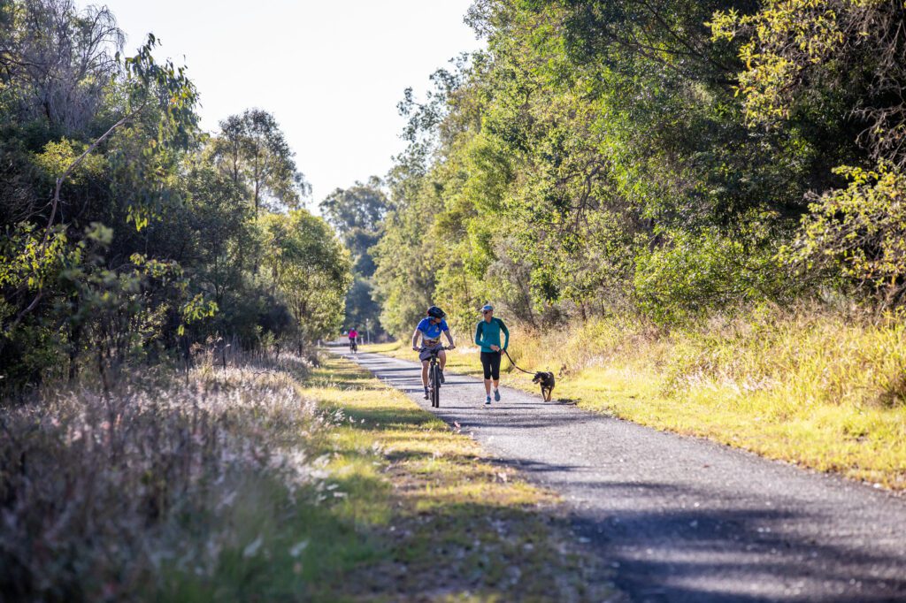


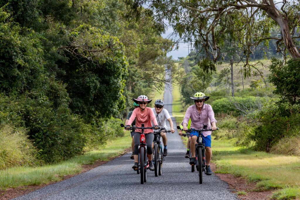

Since our Facebook posts around this topic were so successful. We thought it would be a great idea to publish these as a blog post as this is much easier to find over time. Since the development of the South Burnett Rails Trail riding options have increased across the South Burnett. There really is something for everyone.
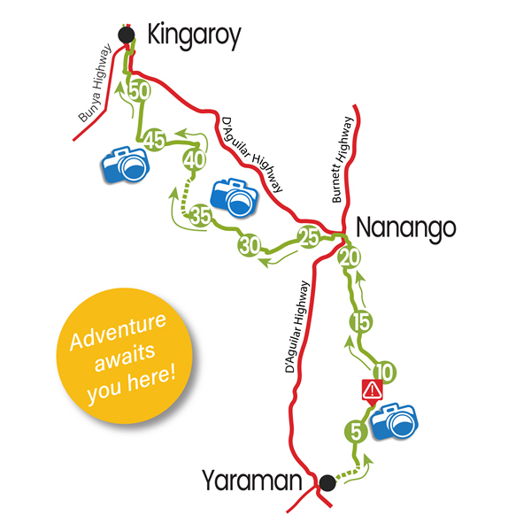
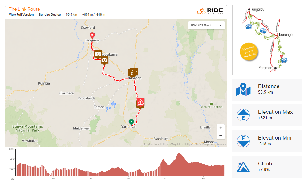
The Link Trail- Connecting the Brisbane Valley Rail Trail to the South Burnett Rail Trail
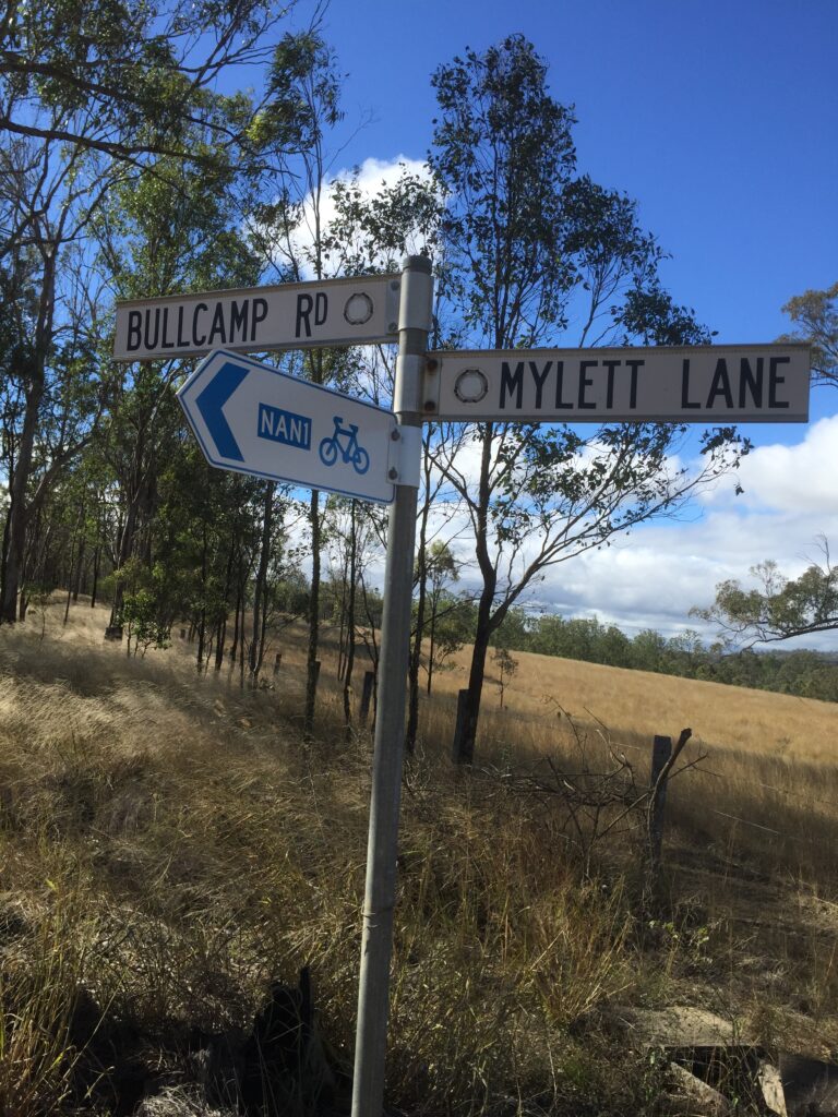
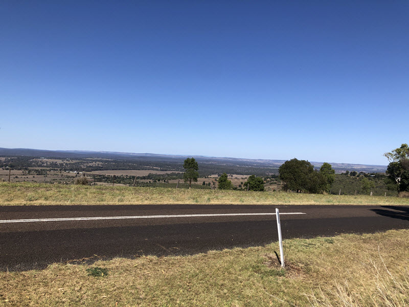
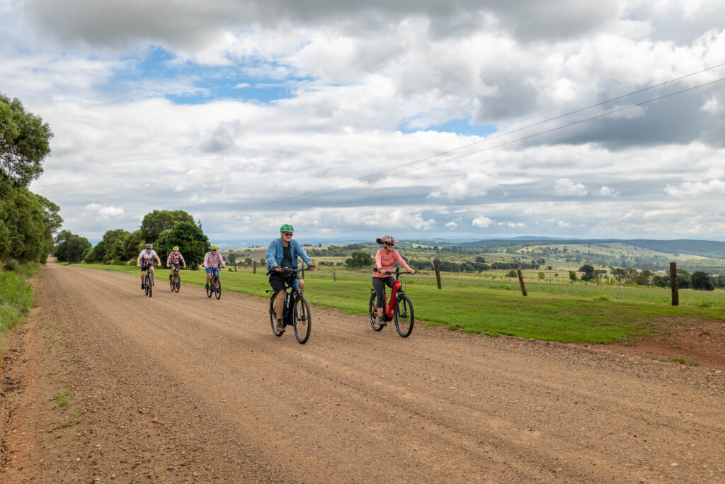
The Route surface is a combination of a stock route and bitumen and gravel backroads. The Link Route connects the Brisbane Valley Rail Trail at Yarraman to the South Burnett Rail Trail via Nanango. The route has been developed by local riders with the wonderful support of the Heritage Bank in Nanango.
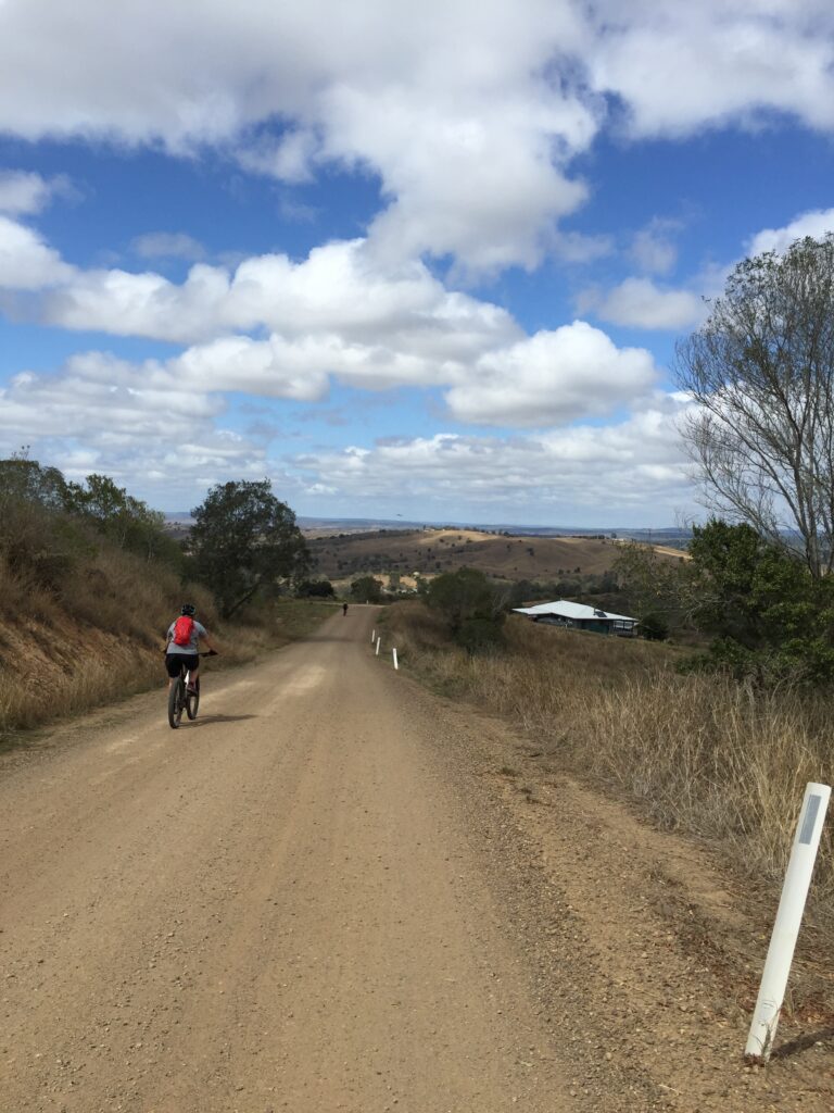
The route is fully signposted and mapped. The Stock Route section (Yarraman to Nanango), is a dry weather only route, as there is a creek crossing that can become flooded after rain. Currently there is 750m-1km of this route in two sections, either side of Yarraman Creek, that is quite rough and needs extra care to be taken by riders, especially on the downhill approach and crossing Yarraman Creek from Nanango and at a second creek system towards Yarraman.
There are some challenging hills along the route. However, the views are spectacular and well worth the effort. Get away from everything and give the Link Route a go. Make sure you look at the interactive map prior to departure
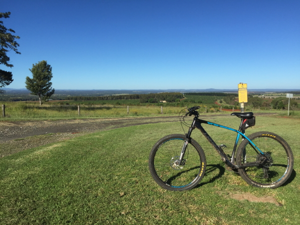
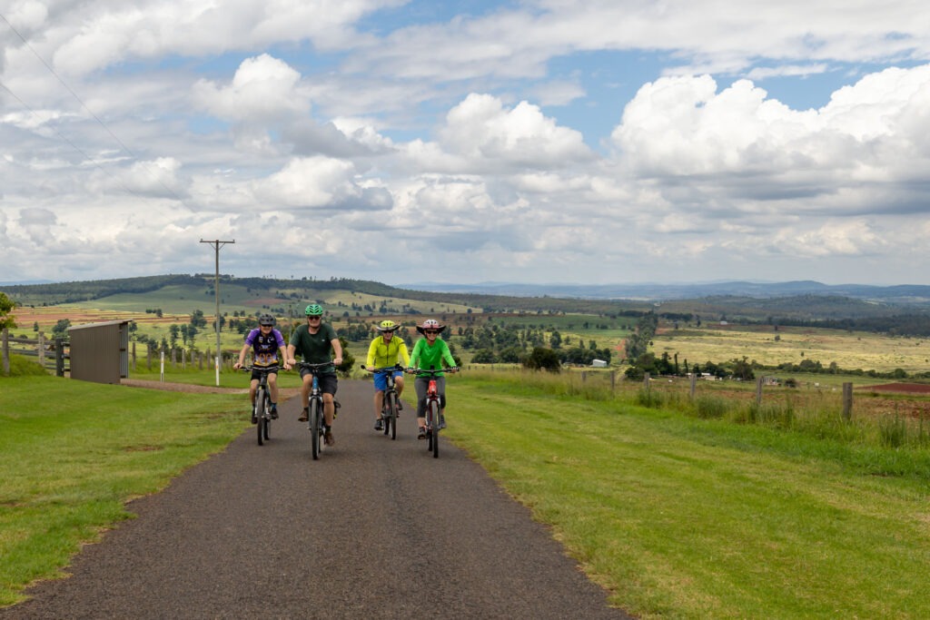
Nanango Rides- NAN 1 and 2 and the Linville Nanango Circuit Route
There is so much wonderful gravel riding to be done around the Nanango area that it is hard to fit everything in. These routes were developed by local riders with the assistance of the Heritage Bank in Nanango. The riders are fully signposted and mapped.
NAN 1- East Nanango Circuit Route
The road surface for this ride is a combination of bitumen and gravel and is generally well maintained. This loop takes visitors through the countryside east of the town of Nanango. The full route is 31.4kms in length with a ride elevation of 481m. The Ride Map gives full details about what to expect while on route. There are many great photo opportunities along the way as the route winds its way through the undulating countryside.
NAN 2- Greenwood Creek Circuit Ride
The NAN2 circuit ride, is a 22km ride suitable for mountain bikes, hybrids and gravel bikes. It is hilly in a few areas so allow 2 hours to complete for a relaxed ride. The rid route has an overall elevation of 283m. There are many opportunities to stop and admire the magnificent view to the east to Mt Stanley and the source of the Brisbane River and to the west towards Tarong Power Station and the Bunya Mountains. The Ride Map gives you full details about what to expect while on route.
The Linville-Nanango Circuit Ride
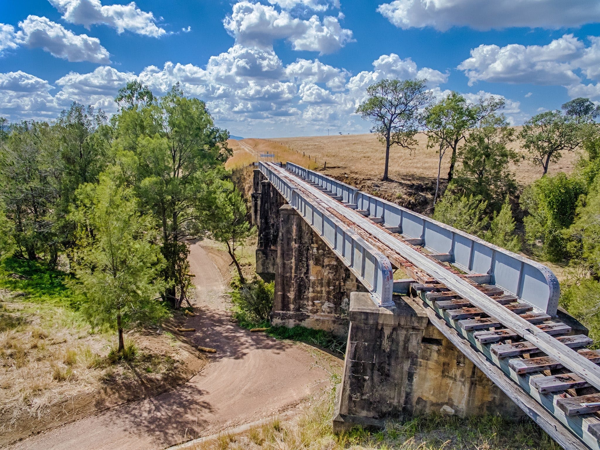
This is a multi day 131 km ride that takes you through some of the most spectacular countryside that South East Queensland has to offer. The route is a combination of the Brisbane Valley Rail Trail, The Link Route (Stock Route section) and bitumen and gravel roads. There are some challenging hills along the way, beautiful countryside to experience, and a magnificent descent into the Western Branch of the Brisbane River. Overall elevation for this route is 1420m.
From the descent the route follows the Brisbane River back to Linville, crossing the river upwards of 20 times. Definitely one of the must do rides in Southeast Queensland!
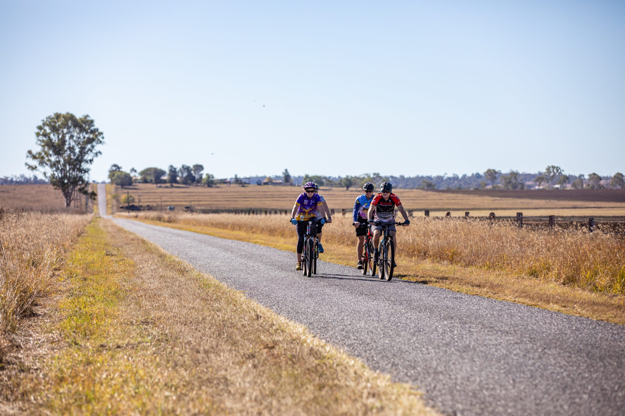
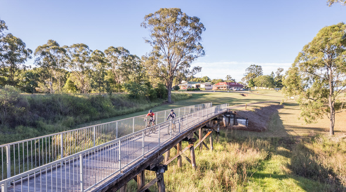
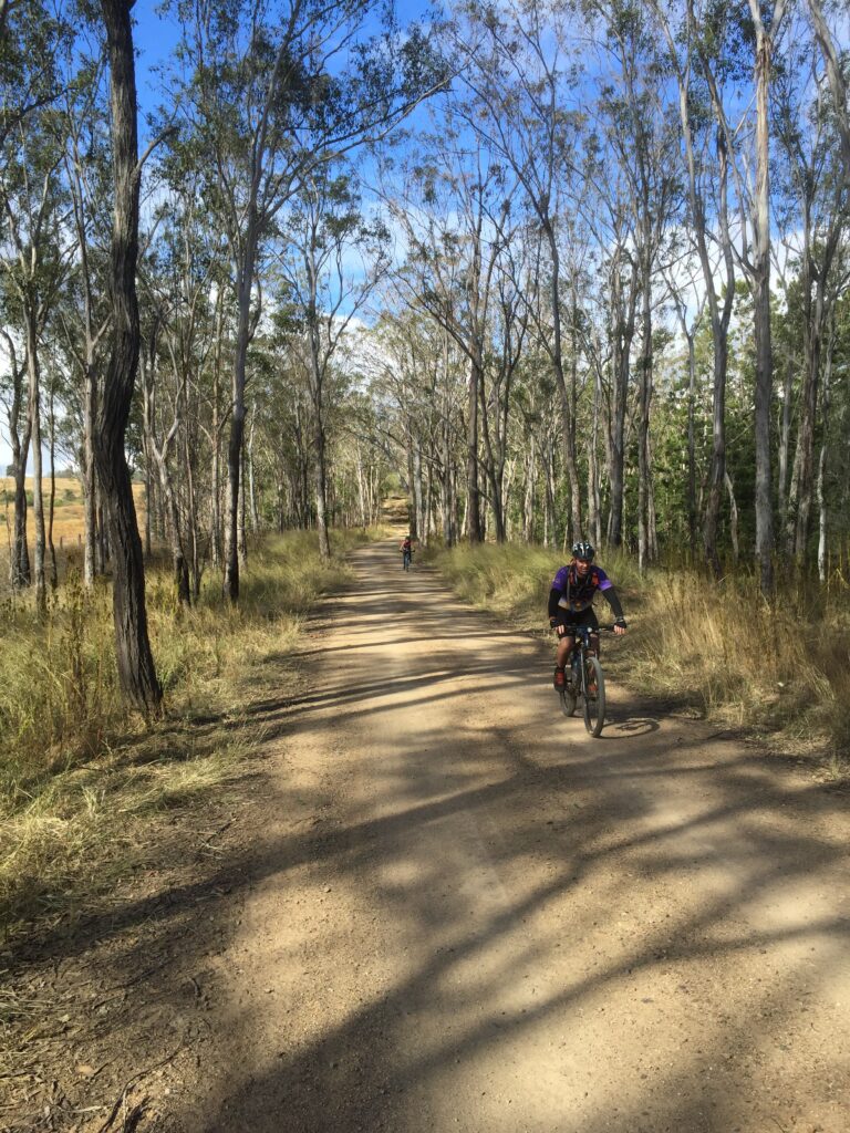
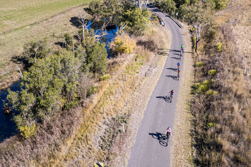
South Burnett Rail Trail (Southern half of the overall Kilkivan to Kingaroy Rail Trail KKRT)
This really started it all off in the South Burnett. The Rail Trail is the spine of all riding developments in the South Burnett and things certainly have changed over the last 7 years.
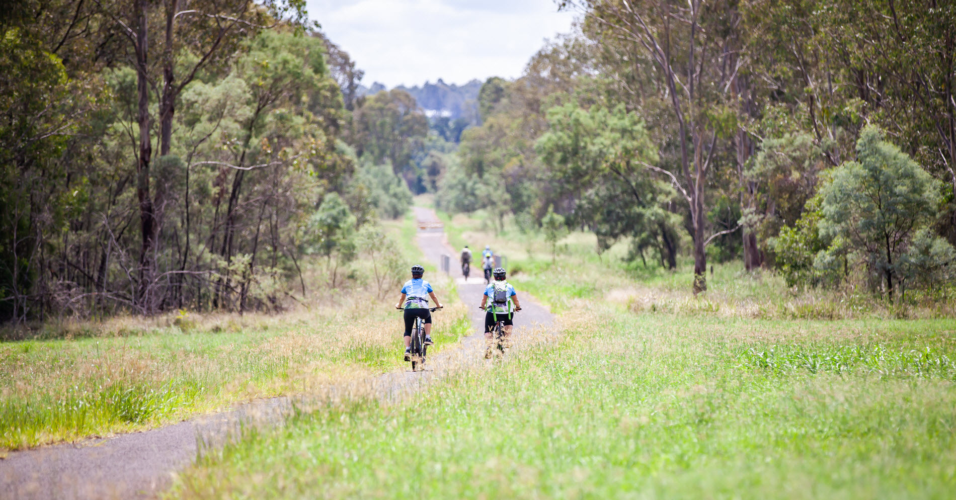
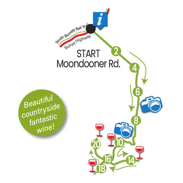
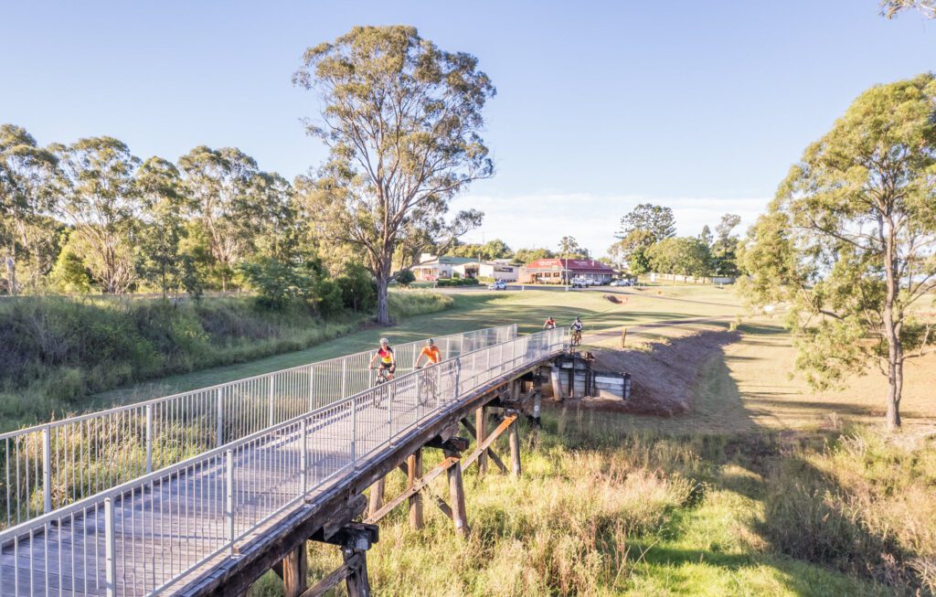
The bitumen section of the South Burnett Rail Trail starts in Kingaroy, Queensland, and continues for 42 kms to Murgon. Along the way you will pass through quaint villages and townships and pass through fertile farmland. There are numerous options for food and coffee should you need it. The South Burnett Rail Trail is the southern part of the larger (89km) Kilkivan to Kingaroy Rail Trail.
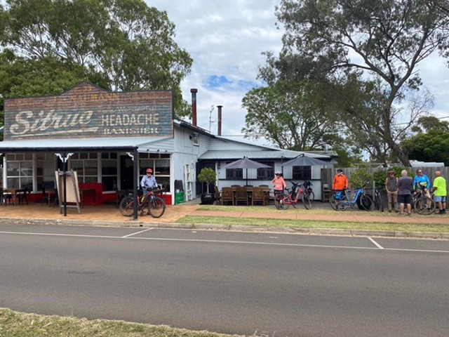
The northern section of the overall Kingaroy to Kilkivan Rail Trail continues for a further 39kms past the Moondooner Road turn off to the Moffatdale Winery Route and passes through the lovely country towns of Goomeri and Kilkivan. The Goomeri Bakery is a must do for any traveler.
While you visit, don’t forget to try one or more of our six fully signposted and mapped Loop Routes. These all start and finish on the Rail Trail and offer cyclists a wonderful appreciation of the rich red soil farmland that makes the South Burnett so famous. Should you feel adventurous there are also wonderful mountain bike trails at Wondai and Gordonbrook Dam.
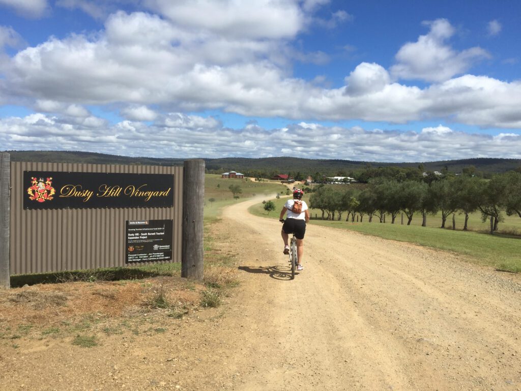
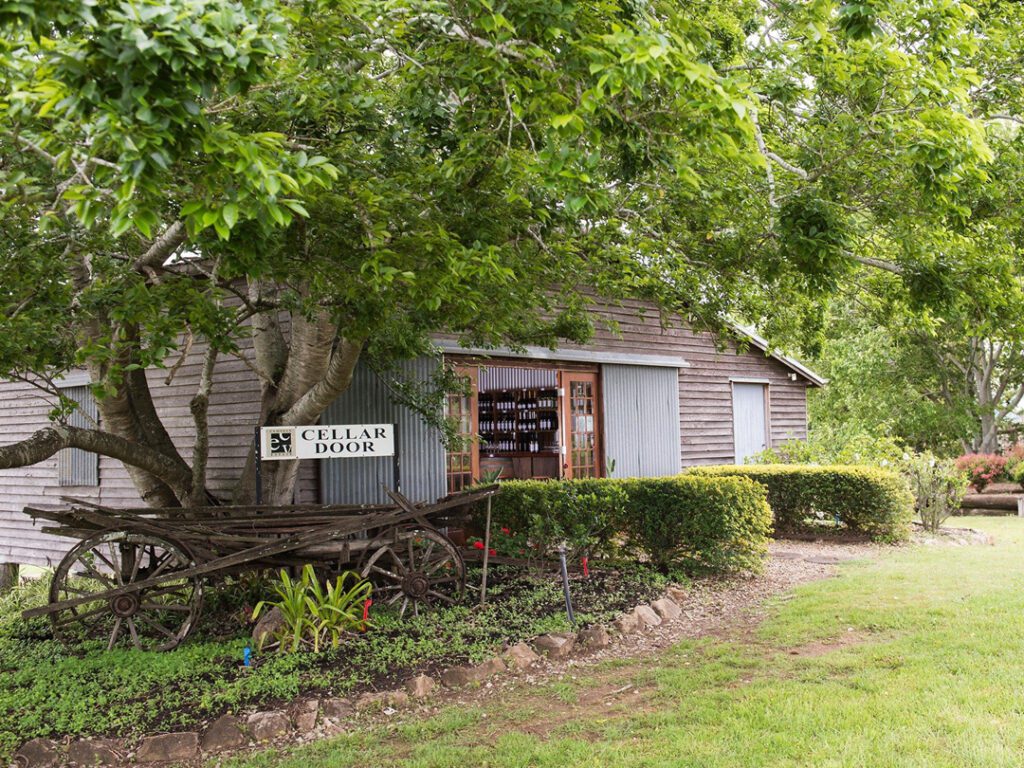
From Murgon the trail changes to gravel and continues for a further 7kms to the turn off to the Moffatdale Winery Route. If you like great food and wine this route is definitely for you. There are four wineries to visit and plenty of accommodation options nearby.
Loop Rides
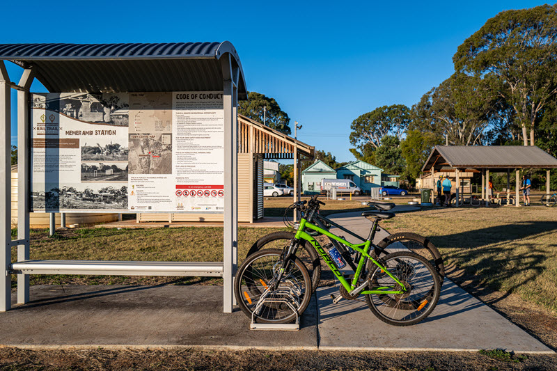
There are 7 Loop Rides that start and finish on the South Burnett Rail Trail. Two in each of Memerambi, Wooroolin and Tingoora and the Boat Mountain Route starting and finishing on the Rail Trail in Murgon.
They vary in distance from 9 kms to 23 kms. The Loops are designed to give the visitor to the South Burnett an appreciation of the South Burnett countryside either side of the Rail Trail. The Loops are a mixture of bitumen and gravel backroads. So why not take a detour and fully experience what the South Burnett has to offer.
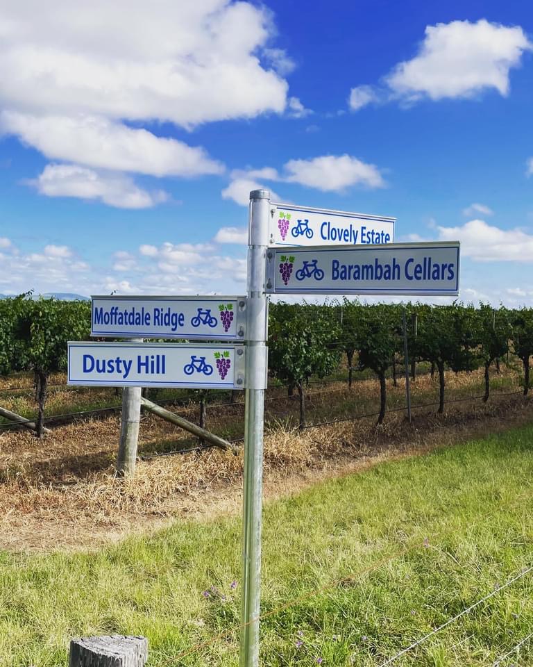
Moffatdale Winery Route
This route like many of the other developments is the brainchild of local riders. 20.5kms in length (one way), the route is a combination of Rail Trail and quiet local roads. With 4 wineries to explore and multiple food and accommodation options there is something for everyone on this route. This is a must do whilst you are in the South Burnett.
Downs Burnett Cycle Trail
The Downs Burnett Cycle Trail is a 457km cycling route that links 13 towns from Crows Nest near Toowoomba, to Kingaroy in the South Burnett. The journey takes you through the picturesque countryside of the Northern Darling Downs and South Burnett.. Experience the joy of exploring new landscapes and take in the stunning scenery along the way. The trail is designed for cyclists looking for a safe and peaceful ride, offering serene roads away from the hustle and bustle of city life. This trail is the perfect opportunity to immerse yourself in regional Queensland, while creating unforgettable memories.
The Great Queensland Rail Trail Adventure
Linking the Boyne Burnett Inland, Kilkivan to Kingaroy and Brisbane Valley Rail Trails. This is a 683km cycling multi day adventure. From Ipswich in the South, cycling north towards Gladstone. This is a route for the adventurer and bike packer.
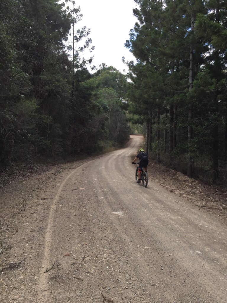
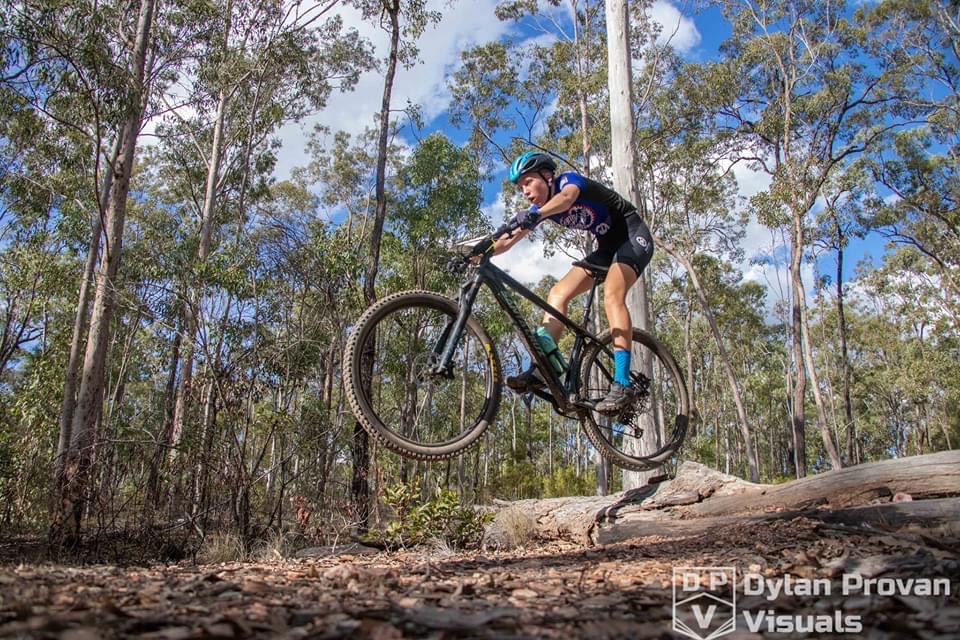
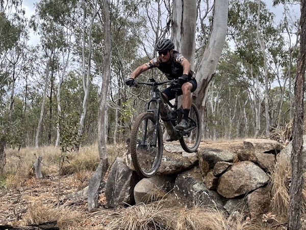
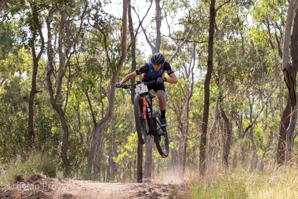
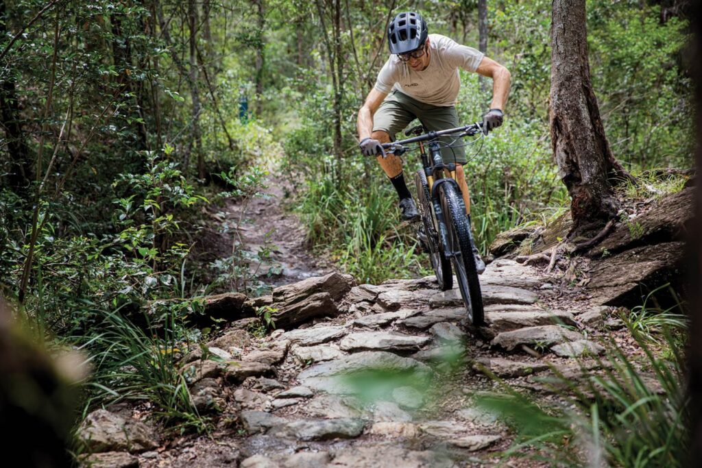
Mountain Bike Trails
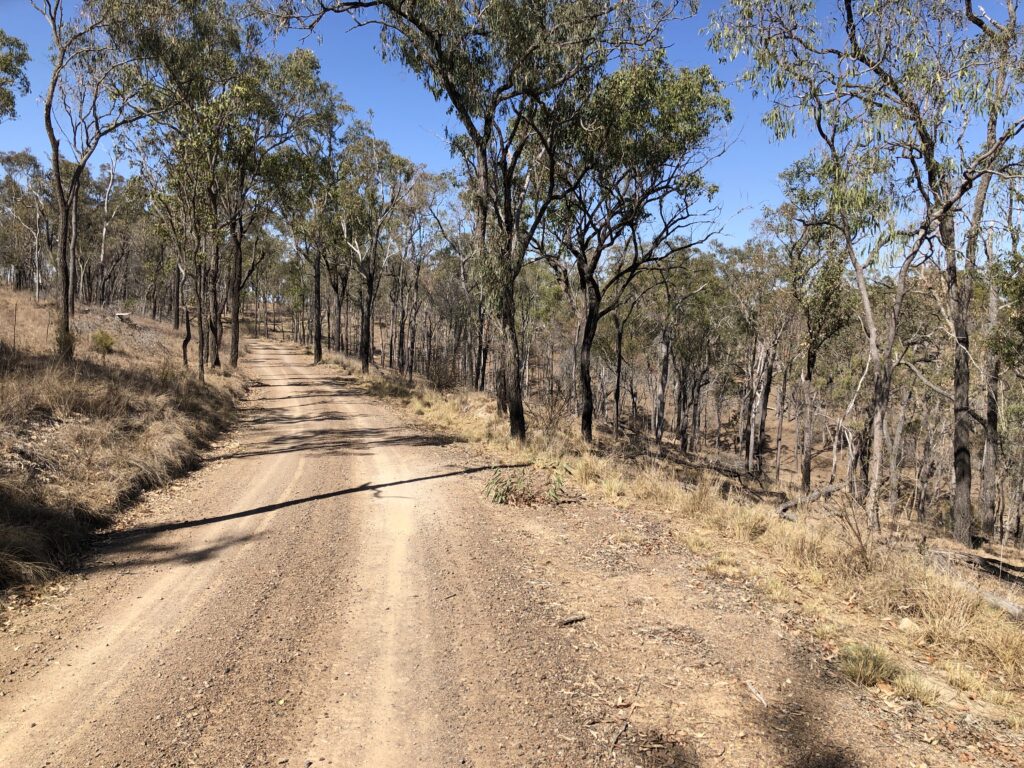
Choice abounds when it comes to mountain bike trails in and around the South Burnett.
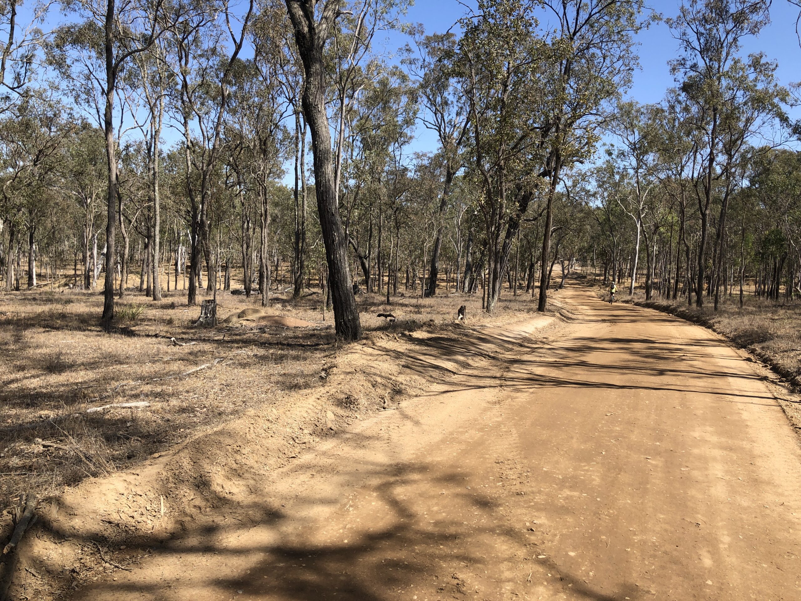
Wondai Mountain Bike Trails
There are 20kms of hand built trails in McEeun State Forest. They are situated just a short ride from the township of Wondai with a direct link to wonderful South Burnett Rail Trail. The trails are situated in 426ha of native bushland. The trails have been in the forestry for decades, the South Burnett Mountain Bike Club club is now rejuvenating and maintaining the existing trails.
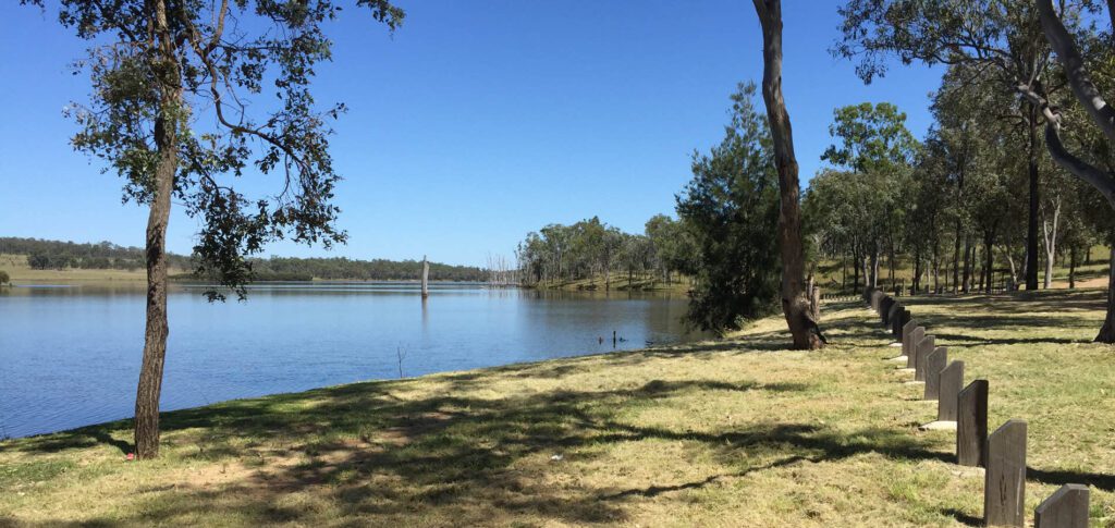
Gordonbrook Dam Mountain Bike Trails
These trails are situated on the banks for the beautiful Gordonbrook Dam, approximately 20 minutes drive north from Kingaroy. There are eleven trails in the network. Total network distance is 13.80km. There are Green Trails for the novice rider as well as blue trails and the black rated cross country race loop for the more advanced rider.
Bunya Mountain Mountain Bike Trails
This network consists of 20km of trails constructed in Russell Park at the Bunya Mountains. The trails are made up of three designated mountain bike ‘loops’ and one shared trail (walking and bikes). Catering to all riding abilities, the trails link up with several sites in the area including Russell Park Day Area, Bunya Mountains Outlook (Fishers Lookout) and Rifle Bird Park.
WEATHER CAN EFFECT THESE TRAILS-PLEASE CHECK THIS SITE AND CALL AHEAD TO THE BUNYA MOUNTAINS AND CHECK THE STATUS OF THESE TRAILS.

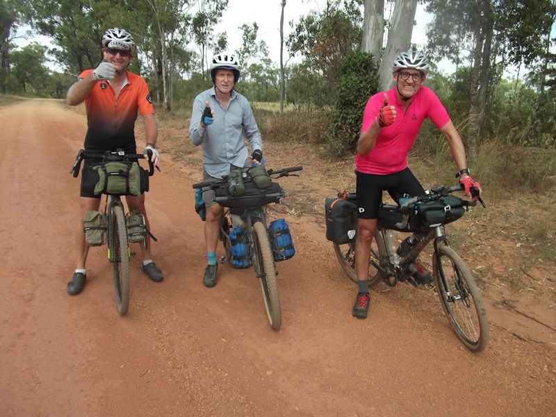
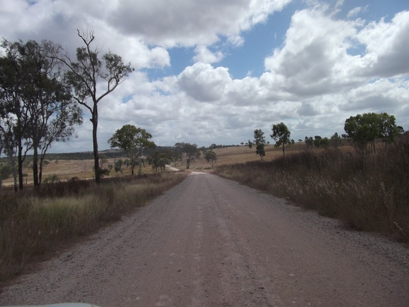
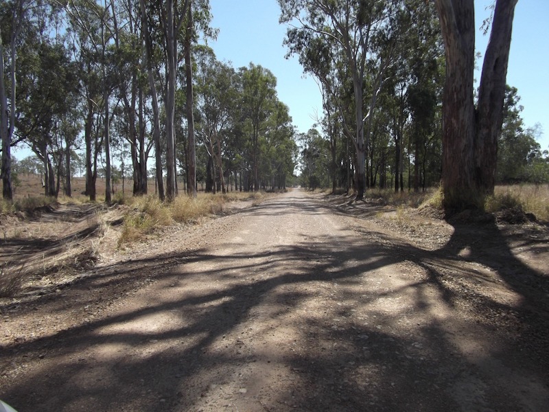
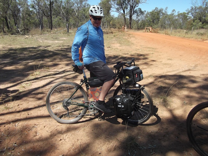
View our collection of event and trail images.