
29 September 2023
Author: Jason Wyeth
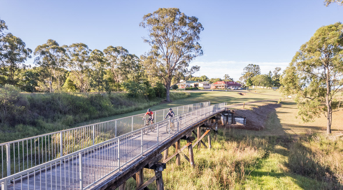
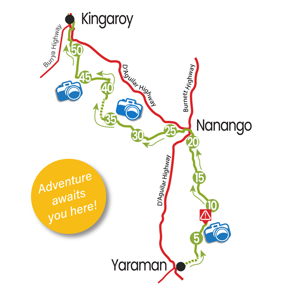
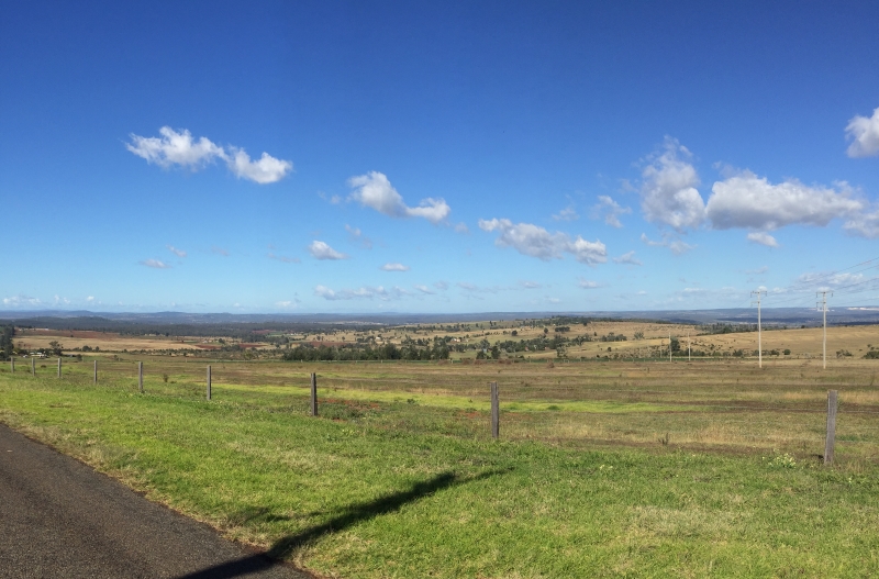
The Link Route from Yarraman to Kingaroy via Nanango has been a popular route of cyclists over the last couple of years. This route links the Brisbane Valley Rail Trail at Yarraman to the South Burnett Rail Trail in Kingaroy. The route is 55.5km in length and is a combination of gravel and bitumen backroads and the Stock Route section from Yarraman to Nanango (22kms).
So what is the Stock Route section from Yarraman to Nanango actually like? Is the surface as bad as what we have been told of late? Have there been any improvements to the Stock Route and what is in store into the future? Is it really necessary to bypass Yarraman Creek and or Nanango totally?
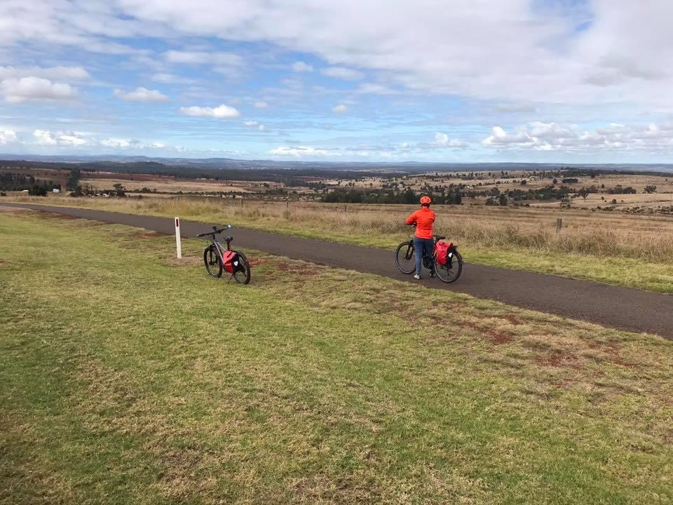
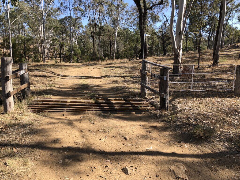
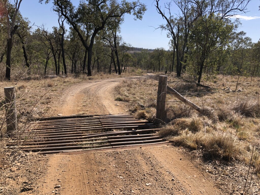
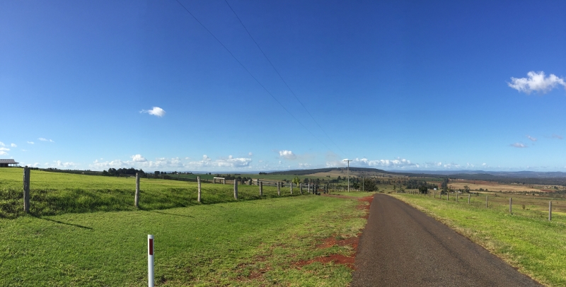
To answer these question we decided to go for a ride and have a first hand look at the trail, starting in Nanango. The first thing we noticed was the South Burnett Regional Council had just resurfaced Old Yarraman Road, so the surface to the first grid was excellent. The road is undulating and the traffic was non-existent. Be aware though quite a bit of the route signage has been vandalised and stolen of late, local riders are working to rectify this issue.
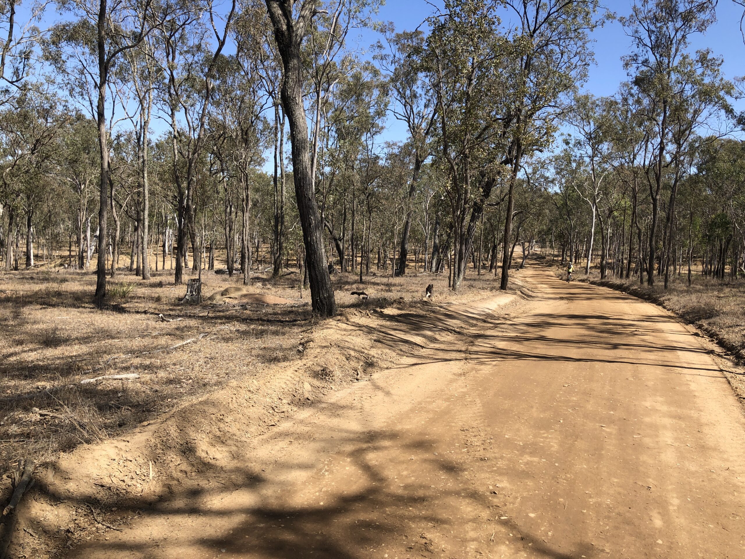
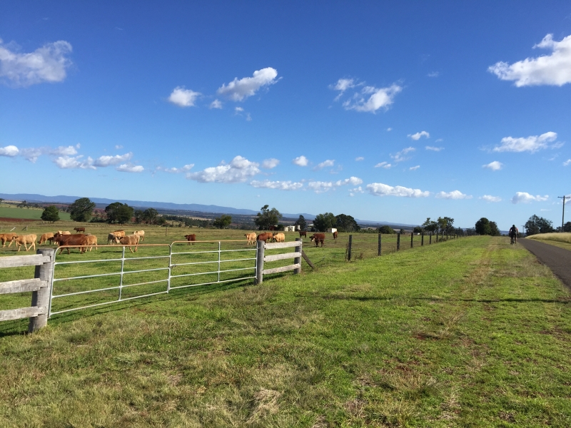
Crossing the first grid we ran into more South Burnett Council workers who were upgrading the access road into the Stock Route. This improvement continues for approximately 2kms. It was great to see council spending the time and money on this section of the route. This new work ended at cattle yards, where we turned right onto the forestry road.
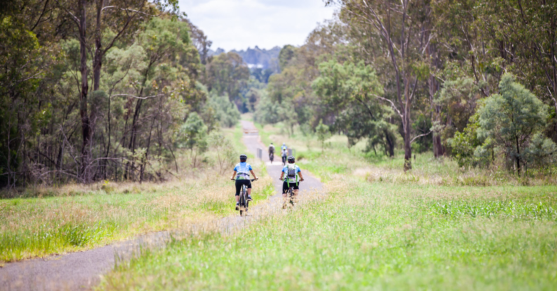
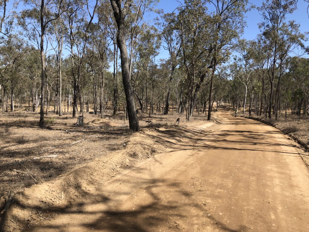
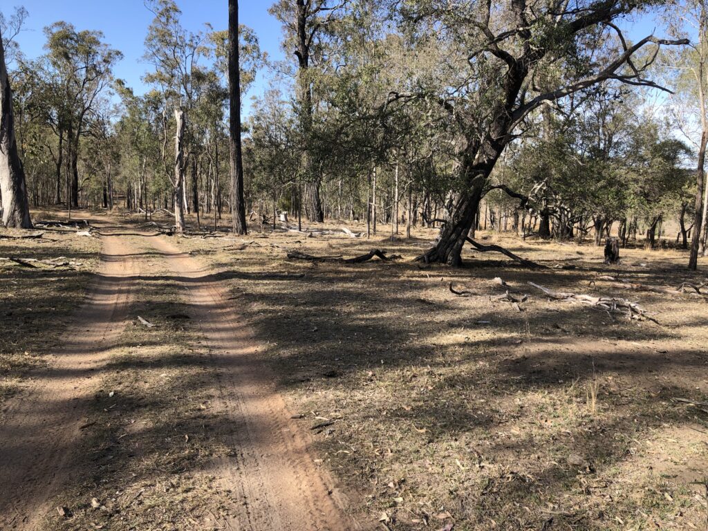
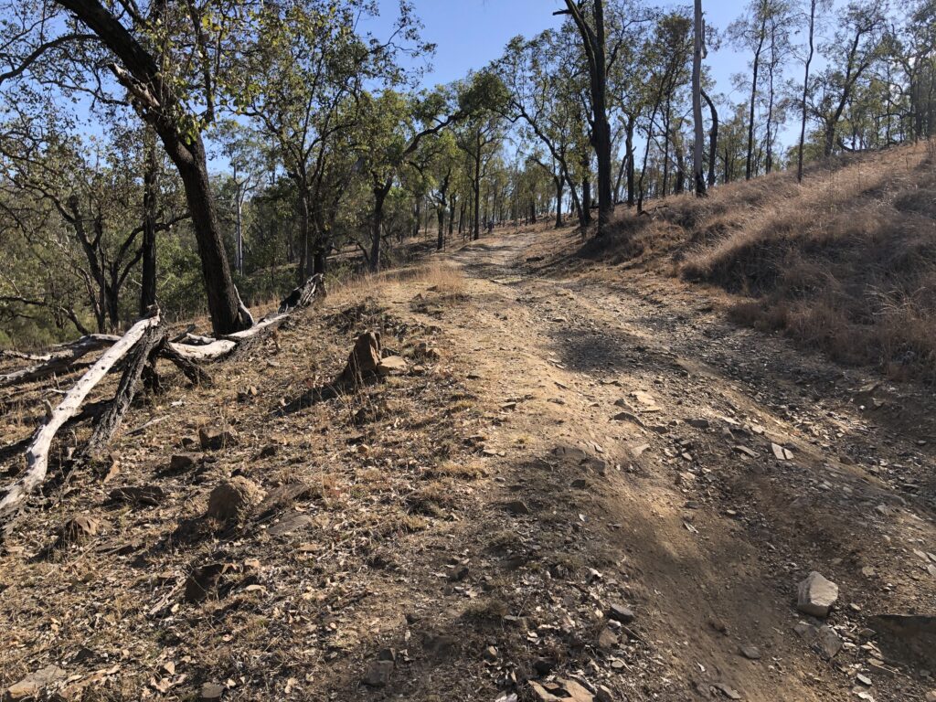
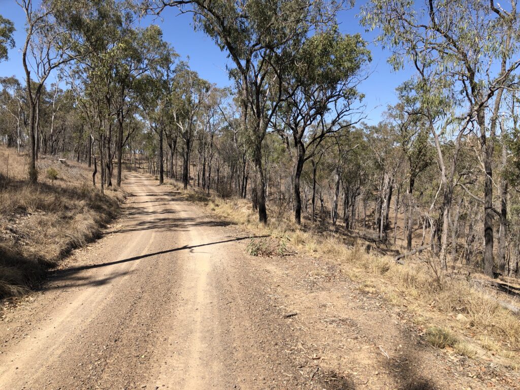
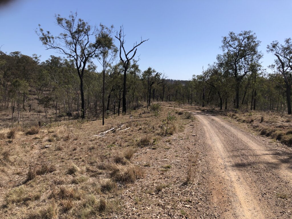
This section is a bit notorious for 4wd damage. Good news though, a new access road has been put in that bypasses the worst of the 4wd damage. This new access road continues for approximately 2kms, winding its way through native bushland. The surface of the access trail is in good condition, there are a couple of sandy patches due to the dry weather of late. The trail is picturesque and very quite with only a few cows and tweeting birds to keep you company.
The new side access road rejoins the Stock Route just before the descent into Yarraman Creek. The descent is quite rough and riders should take care descending to the creek. Good news the distance to the creek is only approximately 400m, so even if you walk the entire way it wont take long. Discussions are underway to see what options there are to improve this section.
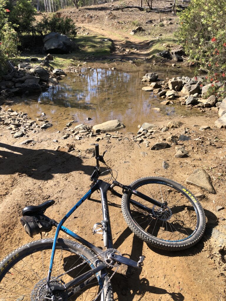
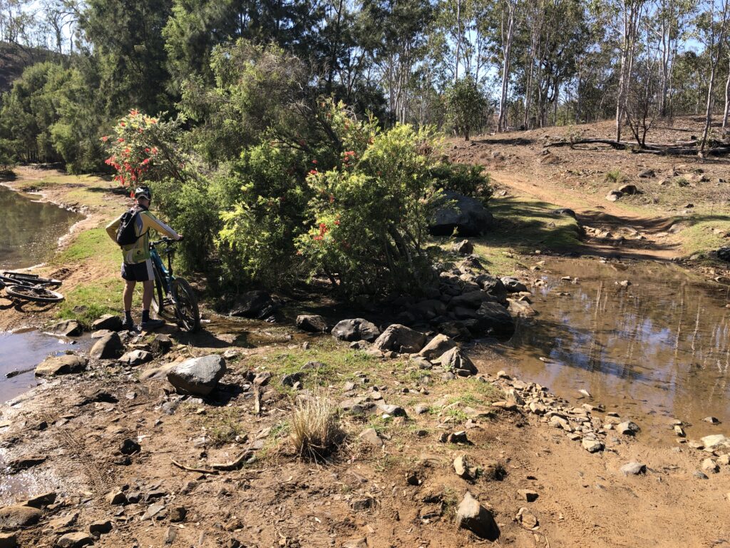
Once you cross the grid at the bottom of the descent you veer left into Yarraman Creek. Be careful the entrance to the creek has been badly damaged by 4wd vehicles and walking this short (30 metre) section would be advisable. The creek is a wonderful spot to stop for a snack. There is a permanent water hole to your left and plenty of shade to relax in. This is a very pretty spot.
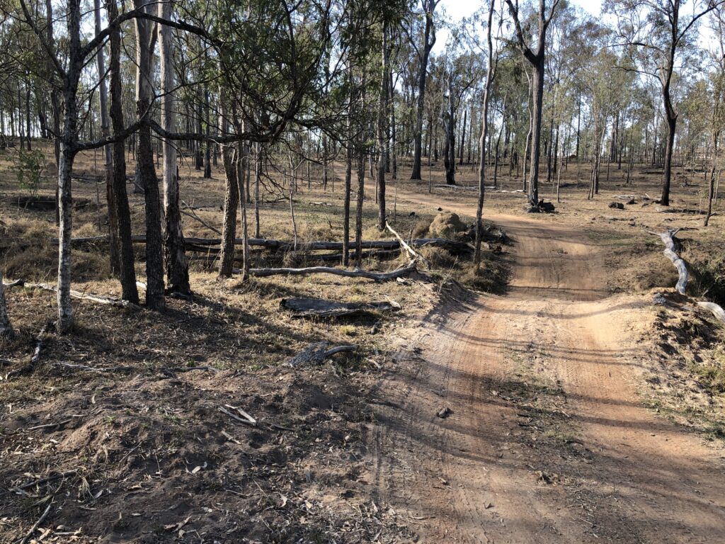
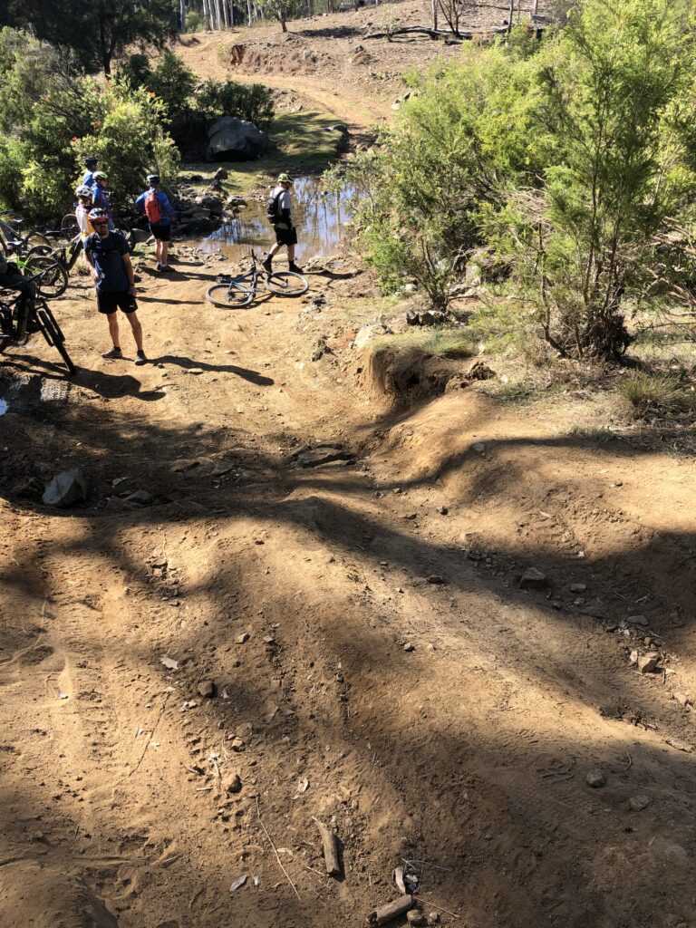
On the day we rode the water was running in the creek. However during dryer times the creek bed does dry up for lengthy periods. Even now the depth of water was only around 10cm. If you don’t want to get your feet wet, or if you have an eBike, then cross to the left of the deeper water. Look for the bicycle wheel marks to show the way (picture below).
I also noticed that some riders have been detouring slightly to the right (see picture below), of the main road to avoid the worst of the damage when entering Yarraman Creek. Preliminary discussion have occurred with the powers that be to look at some stepping stones as an option in the creek to make crossing easier. An alterative side trail to the damaged entry to the creek is also being discussed.
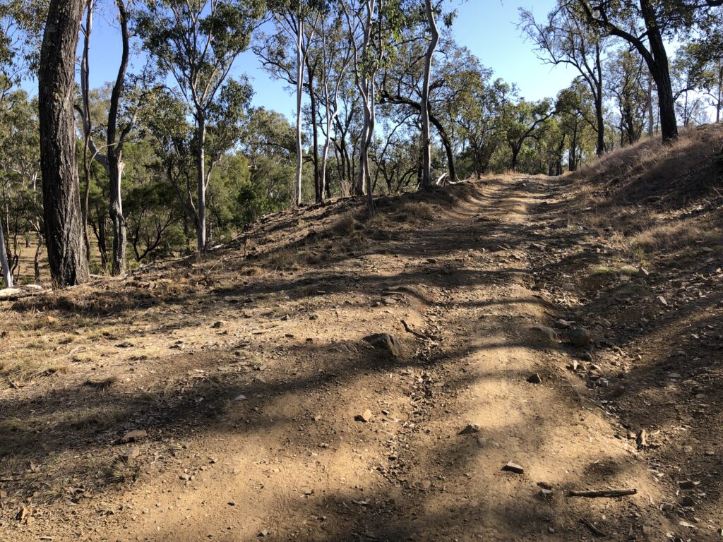
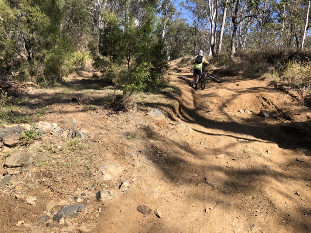
Once you cross Yarraman the road surface does improve. There is one more section of road through two small creek crossings that gets rough and rocky. Once again this is only for a short distance (approximately 300m), so it doesn’t take too long to negotiate. From here the climbing starts as you head out of the creek system towards Yarraman. Once again there has been some extensive resurfacing of this section of the route. The good gravel road continues to the top of the climb and all the way to Din Din Road and into Yarraman.
So coming back to my original 4 questions. In summary:
1. So what is the Stock Route section from Nanango to Yarraman actually like?
It is a wonderful ride (as is the entire Link Route). No traffic, quite and scenic, you are really away from everything and out by yourself. Of the overall 22kms from Yarraman to Nanango there are two rough sections totaling around 750m. These are the Yarraman Creek crossing and just either side of the crossing. If you are not confident with these sections please walk. Plans are formulating to improve these rough sections.
2. Is the surface as bad as what we have been told of late?
Nope. There are the two rough sections. However, given the short distances of the rough sections these can be easily negotiated by walking if necessary.
3. Have there been any improvements to the Stock Route and what is in store for the future?
The short answer is yes. There is a new 2km long side access road and improvements to the main access roads at both ends of the overall Stock Route. Discussions are also occurring about other upgrades in and around Yarraman Creek.
4. Is it really necessary to bypass Yarraman Creek and or Nanango entirely?
Bypass Yarraman Creek crossing- This is really up to the individual. There is a bypass which leaves out the Stock Route section .However this will add 9kms and 175m of extra elevation. Personally, since the rough sections in total only around 750m. I would walk the rough bits and leave the extra climbing to someone else. If the weather is wet then the alternate route as well as the Stock Route will become impassable. Both routes dry quickly.
Bypassing Nanango entirely- NO, NO, NO. This really gets under my skin a bit. I’m not even going to post this alternative route. The reason that these routes are developed is to bring cyclists etc. to our small towns, to help the local economy of small communities. There is a community group working on a shoestring budget that have developed this route to Nanango. We should support them, end of story!!! The route is safe, with care in two short rough sections.
The entire Link Route through to Kingaroy is a ride of great variety, you will enjoy the wonderful Australian landscapes, terrific views and it is signposted. The Yarraman to Nanango section is so quite and serene and a wonderful ride. The section form Nanango to Kingaroy utilises gravel and bitumen backroads and is also very pretty ride. Please look at the elevation map for the entire ride as there are a few hills, especially as you get closer to Kingaroy. The climbs though are defiantly worth the views and remember what goes up has to come down as well. Have fun.
NB. Research your route first. Be a good Scout or Girl Guide. Let someone know where you are going and when you are due back. Carry water, spares and phone coverage can be a bit patchy.

View our collection of event and trail images.